Islip - Names & Parish

Islip has been known by several names through the centuries:
11th Century Slepe Ycteslepe Isteslepe
12th Century Hystlepa
13th Century Eslep Itteslep
Parish
The parish of Islip covers an area of 1,383 acres.
The surface of the parish is undulating and liable to flooding in the vicinity of the Nene.
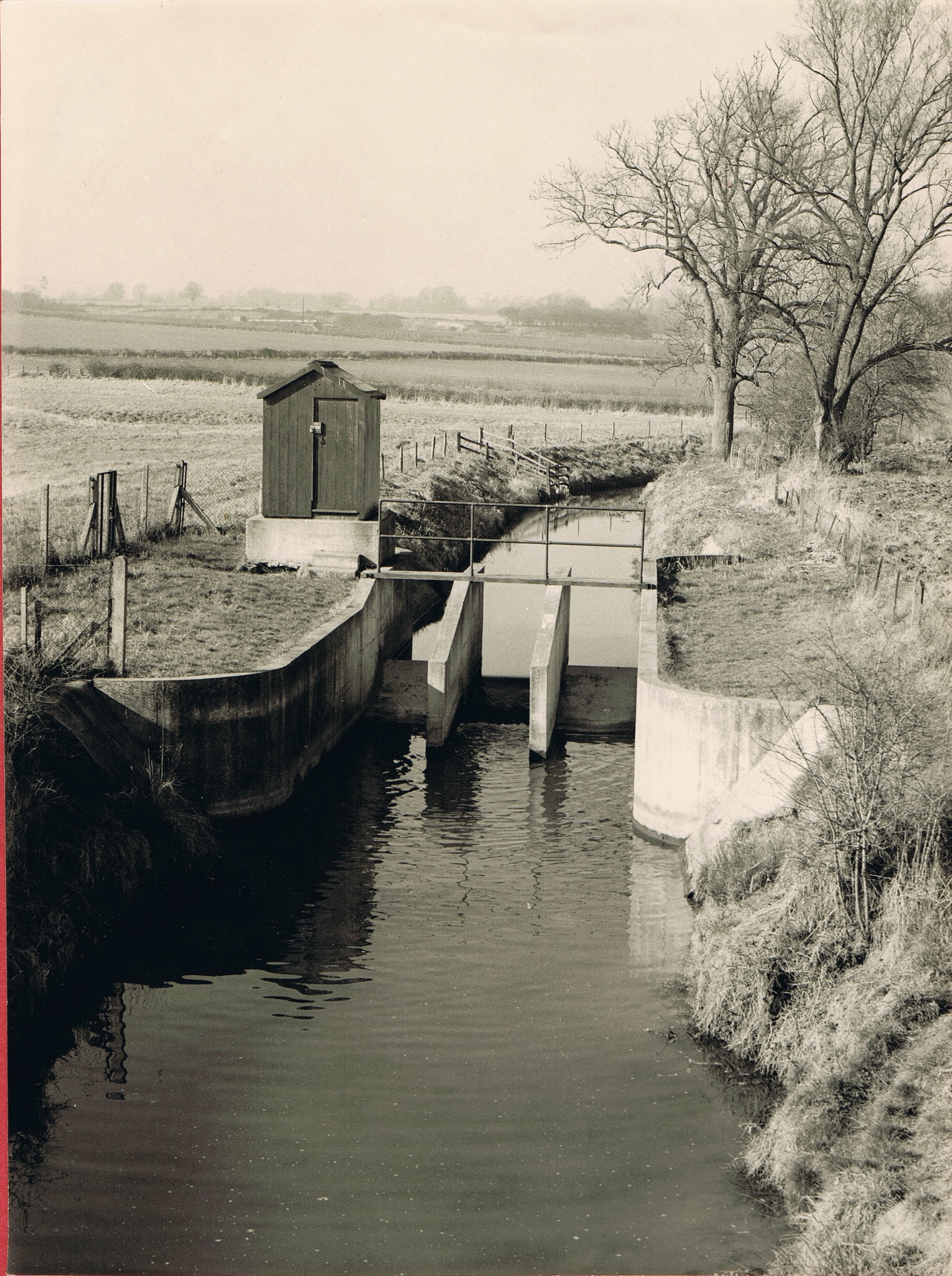
Harper’s Brook, which flows into the Nene, forms its northern boundary, and separates it from Aldwinckle. There is a bridge over this brook to carry the road to Aldwinckle, with the mill stream near by.
The Nene, flowing northward, forms its eastern boundary, and the parish is divided from Woodford on the south by a stream flowing east into that river.
Iron Furnace
A tramway takes a circuitous route to the Islip furnaces in the south-west, where the Islip Iron Company has valuable mines of iron stone, and three smelting furnaces.
There are old quarries in the same direction. A fine white stone is quarried for building; and good stone for repair of roads. Besides the iron work and quarrying carried on, the manufacture of horse collars and matting was a considerable industry.
Population
The population was 616 in 1921.
Buildings & Amenities
The Rose and Crown Inn, in the middle of the village, is dated 1691and two other houses are dated respectively 1744 and 1763.
The recreation ground on the west side of the village street was presented by Mr. S. G. Stopford Sackville as a memorial of the Great War (1914–18).
A reading room, with billiard room and small library, was built in 1897 by public subscription.
References:
From: ‘Parishes: Islip’, A History of the County of Northampton: Volume 3 (1930)
Copyright Thrapston Heritage. Website by CommunitySites
No Comments
Add a comment about this page